
Welcome to Sky Maestros, aerial imaging specialists!
Your symphony in the skies.
FAA Part 91 & 107 Certificated and Insured.
Our site is best viewed in landscape/wide angle.
About Us
We’re more than drones. We are story tellers, capturing special moments as they unfold. We are data collectors, helping businesses make smarter decisions. Our primary focus is safety, and keeping up with the ever-changing regulations and revolutionary technology in this emerging industry.
Sky Maestros specializes in aerial video and photography, and can also collect valuable data for construction and agicultural projects involving 3D mapping and NDVI/VARI. We can tailor insurance to fit most projects.
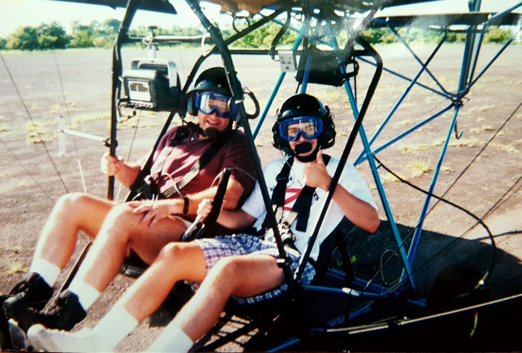
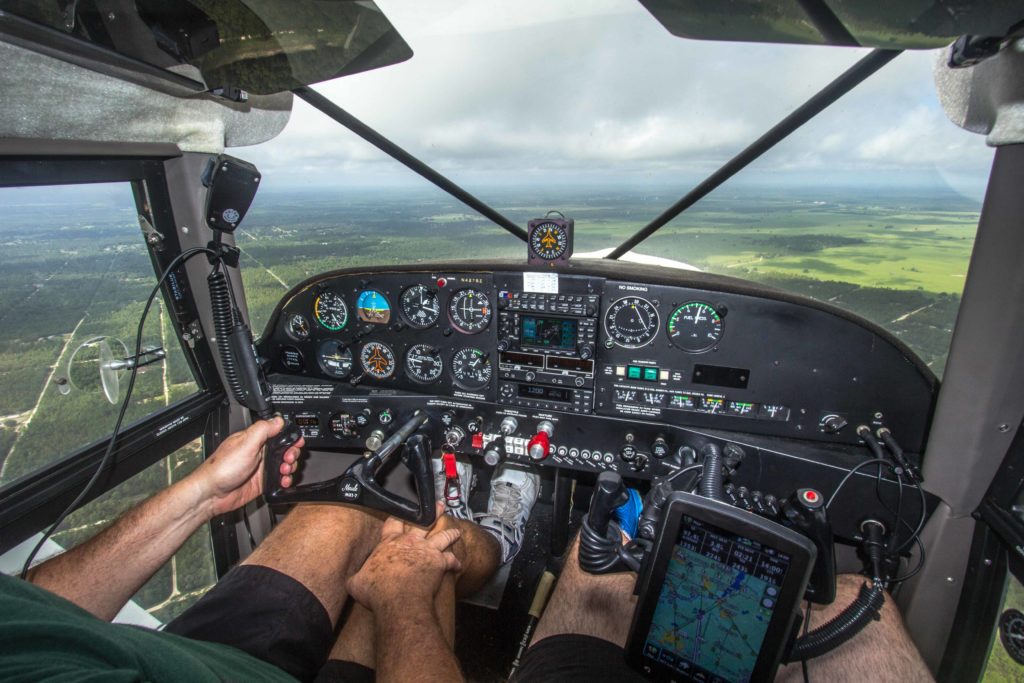
John started flying ultralight airplanes at age five with his father, a naval aviator. He earned a Bachelor of Science in Aviation from the University of Nebraska at Omaha and has FAA part 91 & 107 commercial pilot certificates spanning both traditional fixed-wing aircraft and sUAS (drones).

Our Specialties
Corporate/Sporting Events– Whether it’s capturing an all-company photo, a memorable event for your business, or live streaming to a world audience from our platforms using Youtube or Facebook, we can build your brand!
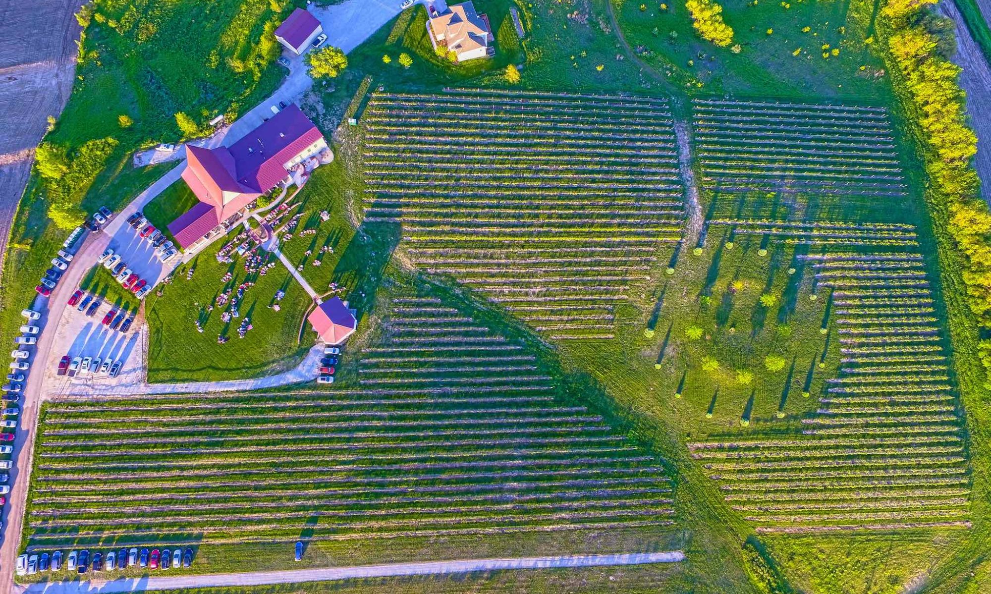
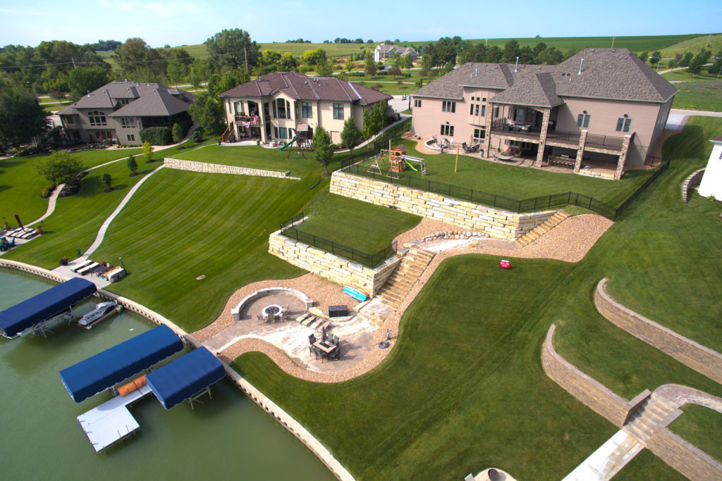
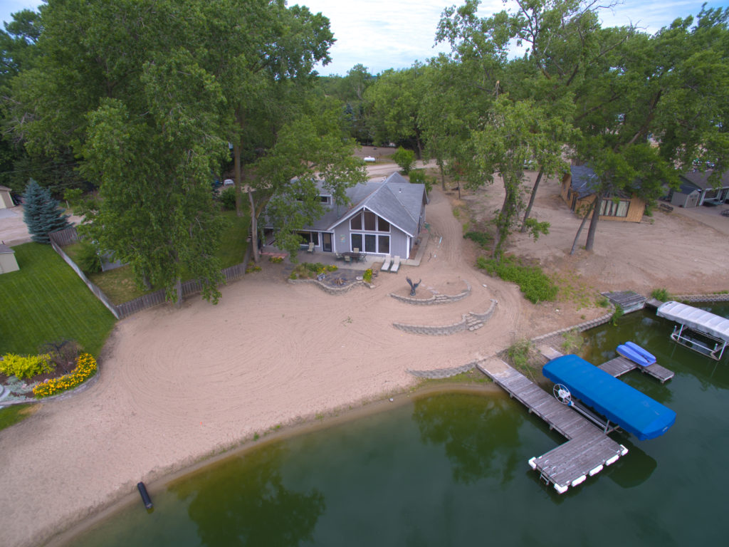
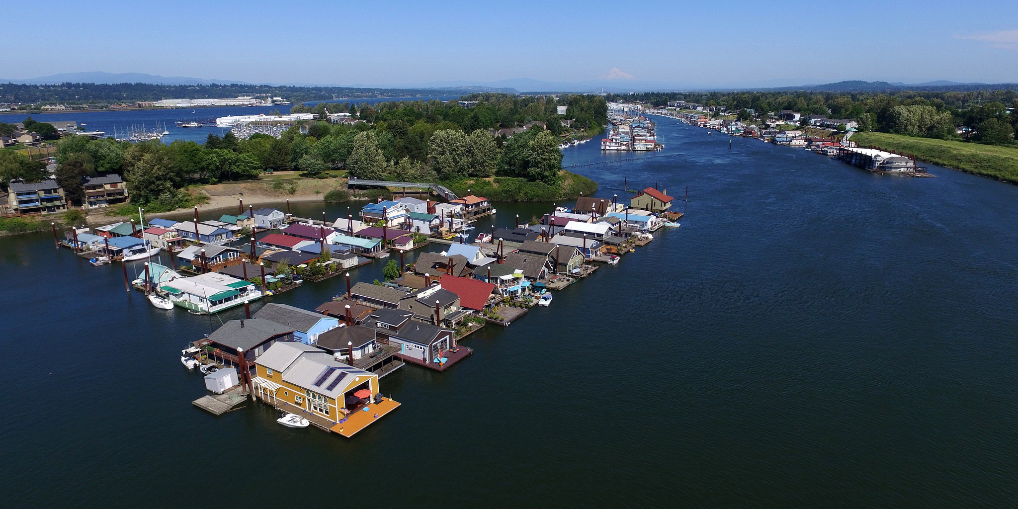
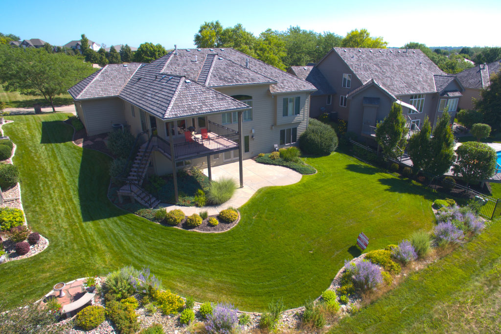
Real Estate/Site Survey– Get exciting photos for your Zillow or MLS listing. Assess the scale of damage for insurance settlements and survey topography for building projects.
Aerial images and video for MLS and Zillow
 Video Showcase in Ocala, FL.
Video Showcase in Bennington, NE
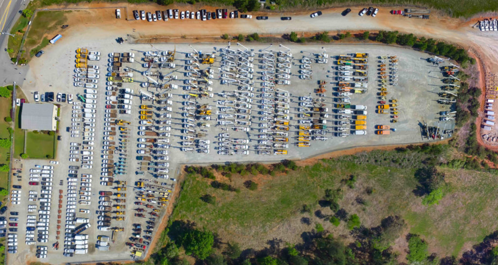
J.J. Kane Equipment Yard near Atlanta, GA
Exciting Marketing Media – Just about any business can benefit from updated marketing materials that aerials from Sky Maestros can provide.

Weddings– Add aerial coverage to your wedding festivities for a truly unique perspective!
Personal Projects – Have a passion? We can capture it! Whether it’s jumping bikes, racing cars, or sailing boats, we make lasting memories.
3D Modeling
Interactive 3D models give users a more immersive experience when viewing geospatial content and can integrate with VR goggles . These models can document the stages of a construction project and assess material inventories to streamline your logistics supply chain. Volume, area, and distance measurements can be calculated from aerial data-point clouds.
NDVI/VARI Imaging for Crop Health
Aerial images can be processed to provide timely crop health reporting, that help farmers capitalize on irrigation and fertilization strategies.

Our Equipment:
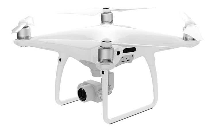 DJI Phantom 4 Professional
Weight- 3lbs.
Top speed-45MPH
Camera -1 Inch 20MP, 4K sensor, 3-axis gimbal stabilization
Technology – GPS, Infrared, Sonar, and Optical flight sensors
Call John Anderson today at 402.212.7986

Blog
Building Your Brand with Aerials
We can help you build your brand, whether that’s highlighting your campus/facilities, special events that showcase your company’s mission, or providing supplemental marketing material to use in promotional activities. JJKane Auctioneers Atlanta Facility Millard North Middle School
Add Live Streaming to Your Event
Facebook, YouTube, and custom live streaming options are possible from our platforms! Showcase your organization or brand in real time from a unique perspective. Here are clips from a live stream of an auction.
Real Estate Power
In real estate and commercial property sales, aerial photography and video enhances the presentation of the location, capturing angles that were never before possible. If you have an acreage or attractive surroundings, these pictures are a must! Aerial video can also be an exciting way to show potential buyers the most appealing vantages of your …
Private: Contact
Please feel free to contact us with questions about the services we offer.